Visible Layers
Firetail provides a range of maps and data overlays. Use the menu Layer to access
them.
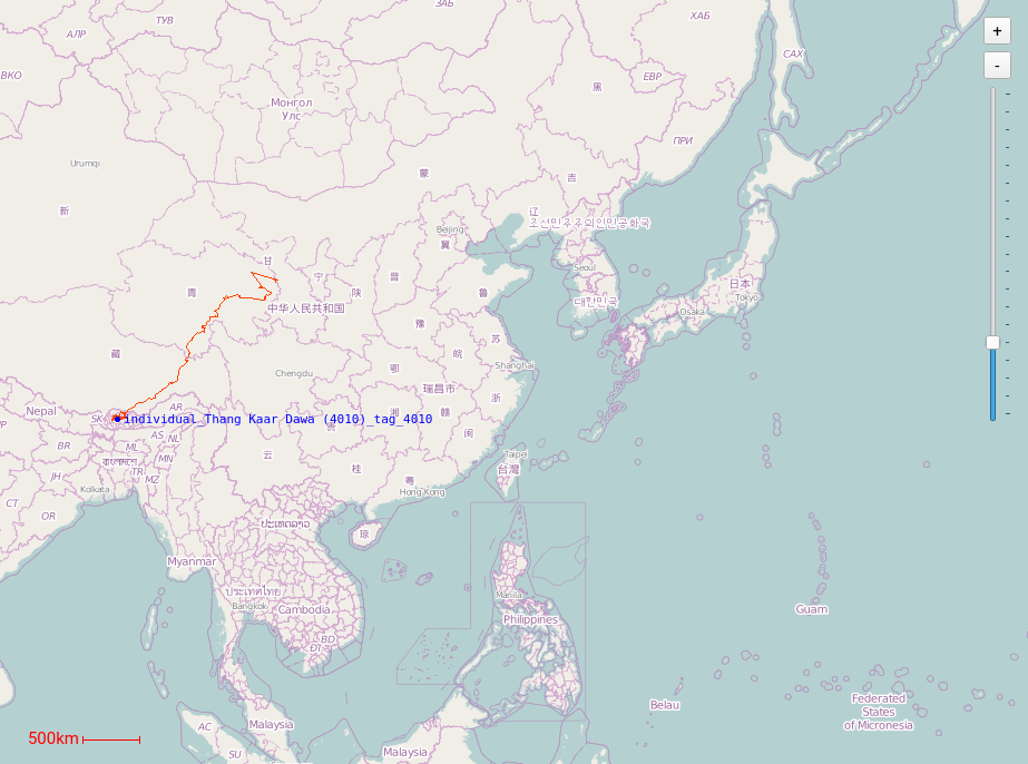
By default, an Open Street Map view is activated. It provides a great overview of your data, in particular for relatively urban areas.
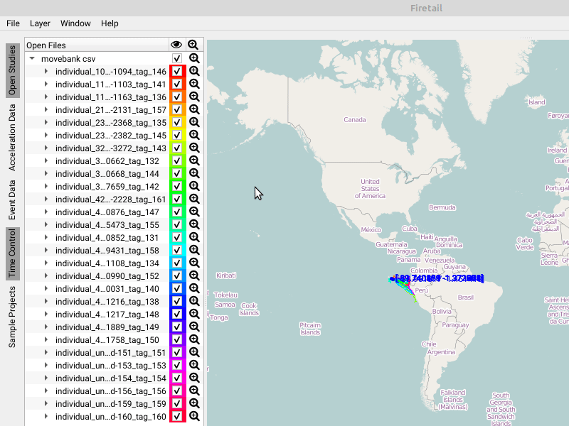
GPS layer
This layer contains the GPS tracks for the currently selected tag data.
Open Street Map (OSM)
By default, Firetail operates using Open Street Map cartographic material hosted on a dedicated server.
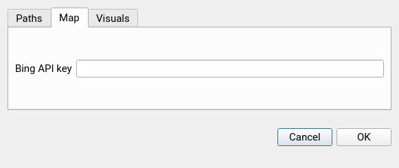
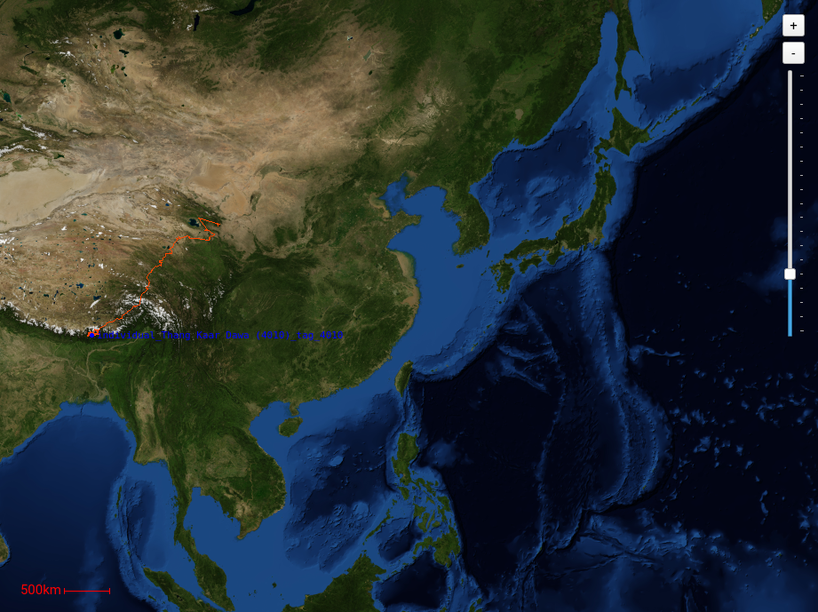
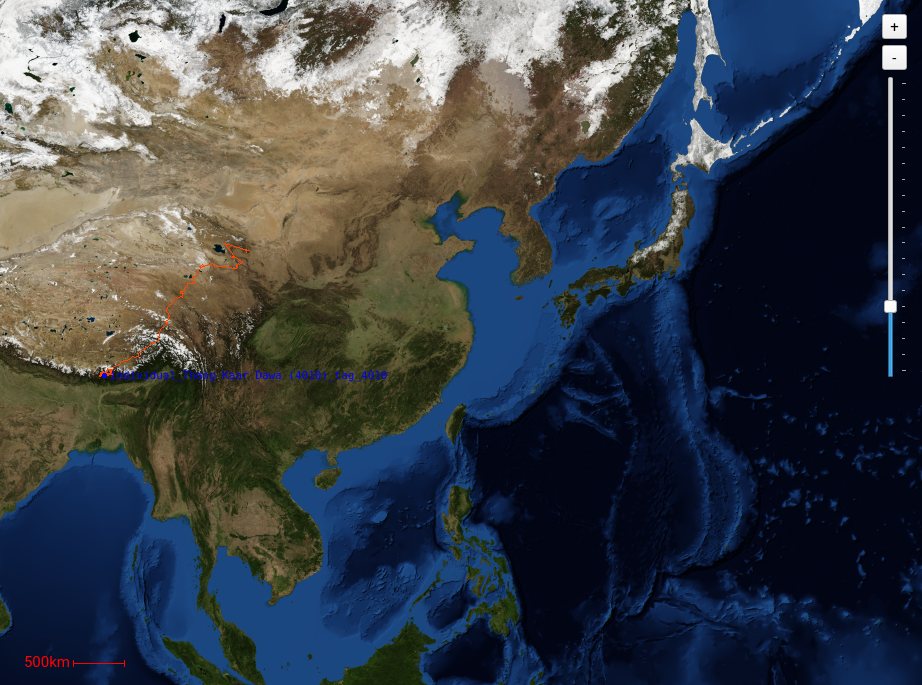
Bing
Alternatively, it is possible to retrieve satellite images from Bing to inspect terrain features visually. The data is static and high-resolution.
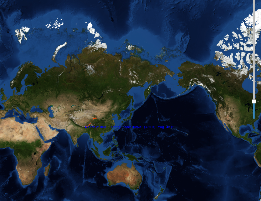
The default Bing key shipping with Firetail can be replaced using Files > Settings > Map. This may be required for large-scale region downloads.
NASA - Blue Marble
This data features static, high res (500m/pixel) overlay data from the NASA earth observatory.
NASA - Blue Marble, Full Set
This data features dynamic (monthly progress 2014), high res (500m/pixel) overlay data from the NASA earth observatory. The visualisation thus enables the observation of coarse seasonal changes.
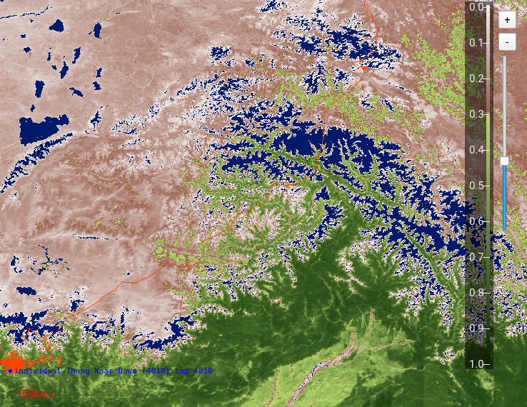
MODIS Vegetation Index, MOD13A
Regional climate data. Spatial and temporal resolution data featuring the Normalized Difference Vegetation Index (NDVI). For this map overlay, an additional scale is introduced that will overlay the existing map. The visualisation is dynamic and allows for the analysis of periodical changes like winter/summer or dry/humid. The resolution is 1km spatial whith changes provided every month.
MODIS Terra Vegetation Indices
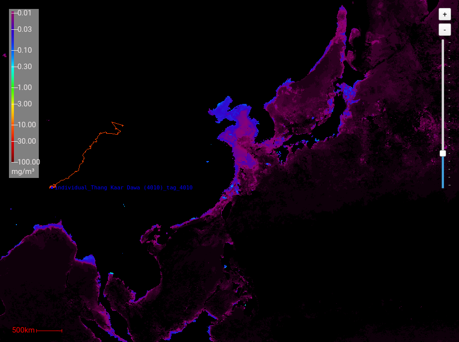
MODIS Chlorophyll Seawater
Overlay of sea water chlorophyll concentration. This NASA dataset features dynamic spatial data covering monthly changes. For this map overlay, an additional scale is introduced that will overlay the existing map with \( \text{mg}/\text{cm}^3 \) .
Night/Day – Sunrise
For behavioral studies, information about sunrise and sunset may be crucial. Firetail features a sunrise mode to embed this information in the current viewport.
Point Map
An overlay of all points in a cloudscene. See Cloud Scenes.
Heatmap
A cloud scene heatmap for massive point data. See Cloud Scenes.