Map window
Visible Information
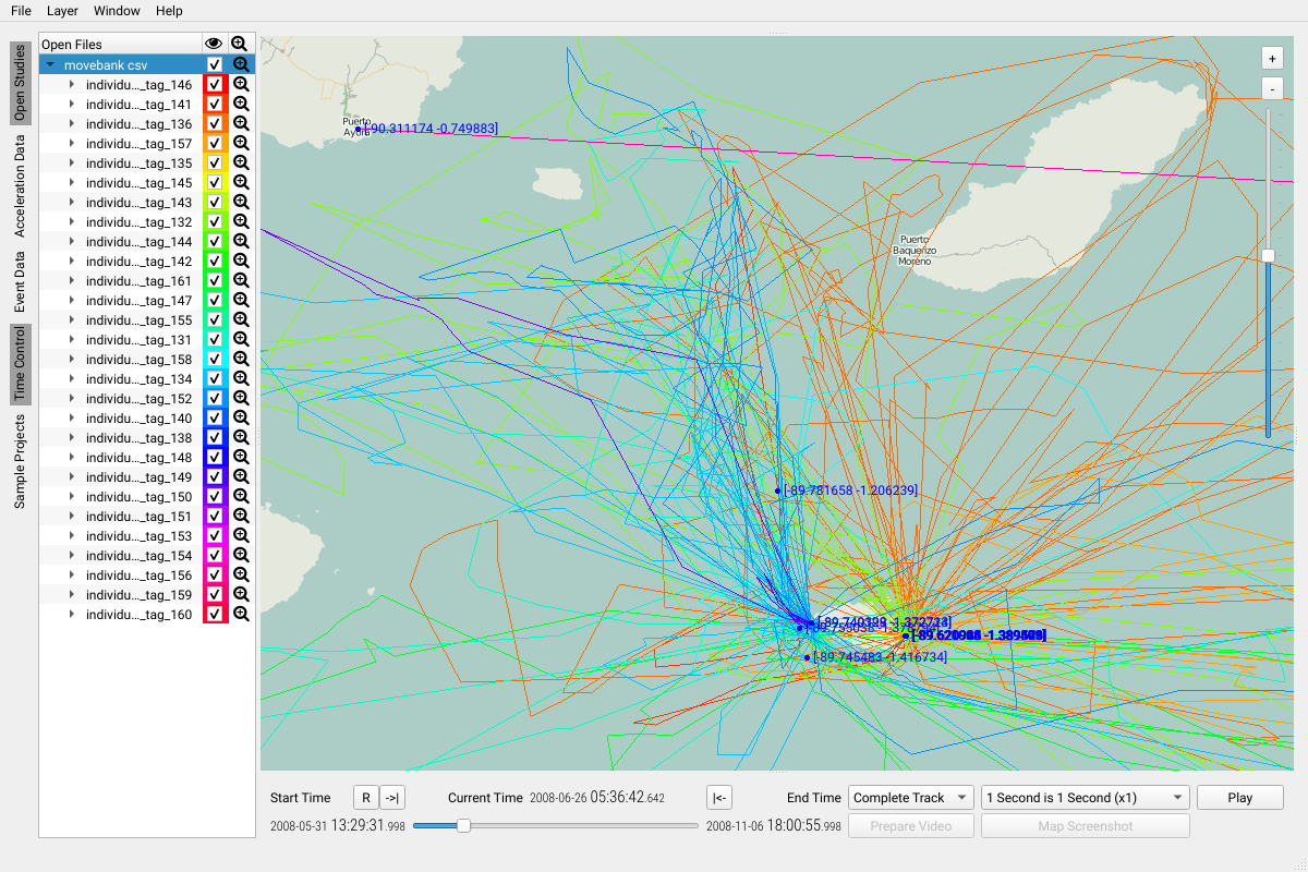
The map gives you an overview over all available and currently selected data sets. Double clicking any visible trajectory will show you the GPS coordinates of all activated (checkboxed) tags having the same timestamp.
Most map features are covered in the respective sections of this manual. The map viewport is directly influenced by:
For acceleration data, it is possible to select consecutive timestamp clusters within the map via shift-<left mouse button>.
In particular, visibility of tracks, covered regions and visible layers are affected by aboves features.
Zoom level
The zoom level is indicated on the top right of the map. The slider can be used to restrict the observed region further.
Note: use your mouse wheel to zoom in and out of the map directly