Visible Layers
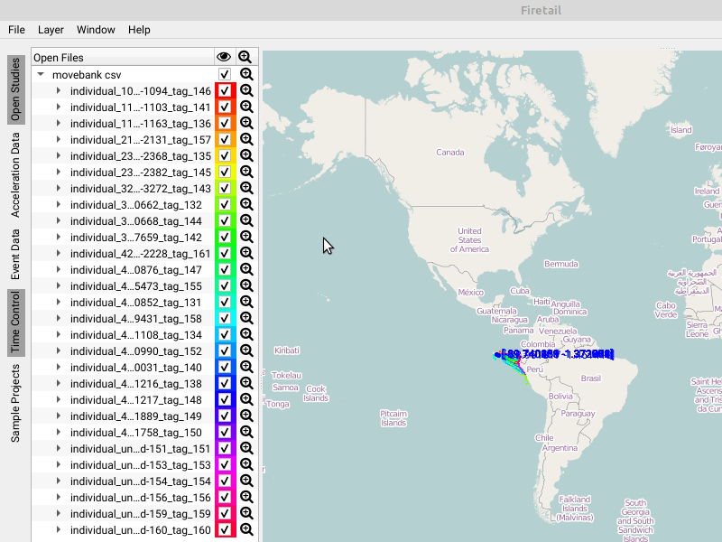
GPS layer
This layer contains the GPS tracks for the currently selected tag data.
Open Street Map (OSM)
By default, Firetail operates using Open Street Map cartographic material hosted on a dedicated server.
Bing
Alternatively, it is possible to retrieve satellite images from Bing to inspect terrain features visually.
Night/Day – Sunrise
For behavioral studies, information about sunrise and sunset may be crucial. Firetail features a sunrise mode to embed this information in the current viewport.